Land Surveying Information
surveyor field work

The Boulder County Community Planning & Permitting office at 2045 13th St., Boulder is open to the public on Monday, Wednesday, and Thursday from 8 a.m. to 3 p.m., and on Tuesday from 10 a.m. to 3 p.m. Appointments are available on Tuesday but are not required. Schedule an appointment.

Land Surveying Information

Overview

Lee Stadele is the elected Boulder County Surveyor, and Jason Emery is the appointed Deputy Boulder County Surveyor.

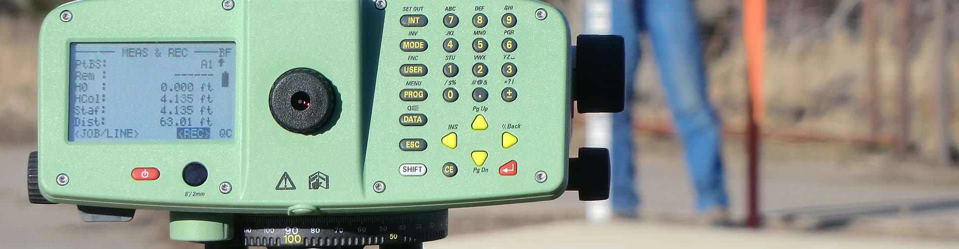
Per Colorado’s Constitution and Revised Statutes, the County Surveyor is an elected official who is currently licensed as a Professional Land Surveyor in the State of Colorado.

A Professional Land Surveyor’s license for the State of Colorado is earned through years of education and experience, and the individual must meet rigorous qualifications as defined in CRS 12-25-214. Successful completion of a series of licensing examinations is required.

Licensure of Professional Land Surveyors is overseen by the State Board of Licensure for Architects, Professional Engineers and Professional Land Surveyors.

Land Survey Plat Deposit

Land Survey Plats are designated to be deposited with the Community Planning & Permitting Department. A Land Survey Plat Deposit Form needs to be submitted along with the Land Survey Plat. Digital PDF submissions are preferred and can be processed and available to the public in approximately one week. Hardcopy mylars are still accepted, however processing may take up to 4 weeks.

When to Undertake a Land Survey

A land survey is performed for the purpose of determining boundaries and corners of a parcel of land through:

  • Research & Analysis
  • Locating
  • Describing
  • Monumenting
  • Mapping

A survey may also include mapping of the topography of the parcel as well as the location of buildings or alterations upon the parcel.

The Professional Surveyor roles and responsibilities are to:

  • Review your deed along with other evidence and render a professional opinion as to the locations and any conflicts of the boundaries of your land.
  • Set monuments at your property corners and mark them so they can be easily found and identified.
  • Keep an accurate record of all services performed and measurements obtained.
  • Identify and advise you of any apparent defect in your land description or evidence of conflict of ownership and/or use.
  • Prepare a plat or map of your property indicating boundary measurements, the monuments found and placed, and the calculated area. Provide the client with copies of these maps bearing the Professional Land Surveyor’s signature and seal.
    Copies of these maps will also be filed in the County Records where the land is located. This will ensure that the plat or map is available for public inspection.

In addition, a Professional Land Surveyor is qualified to:

  • Create a property description for all new parcels or any existing parcels that may have a defect.
  • Appear in court as an expert witness concerning real property ownership, location, or use.
  • Assist you in the planning and layout of the Lots, Blocks, Streets, Easements, etc. in a new subdivision.

Contact Us

Lee Stadele, Boulder County Surveyor

Main: 303-441-1665
Fax: 303-499-9770

Jason Emery, Deputy Boulder County Surveyor

Boulder Land Consultants, Inc.
950 Laramie Blvd., Unit D
Boulder, CO 80304
303-443-3616

Mailing Address

Lee Stadele, PLS
Flagstaff Surveying, Inc.
637 S. Broadway, Suite C
Boulder, Colorado 80305
Community Planning & Permitting website