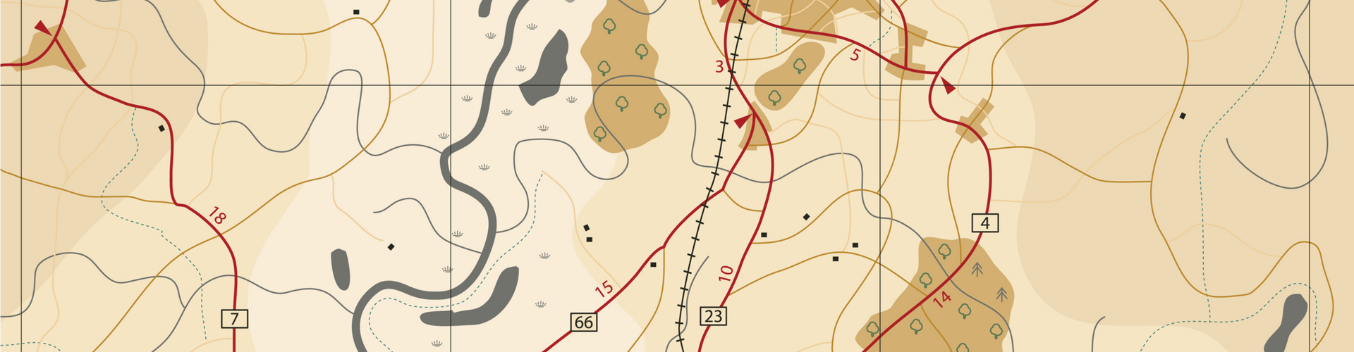
Find maps and GIS (Geographic Information System) data for Boulder County. Use these tools to find information related to property, zoning, parks, trails, open space, crime, elections, energy efficiency, and more.
Scam emails have been impersonating Boulder County Community Planning and Permitting staff. Learn how to spot a scam email.
Plats, Maps and GIS
Boulder County GIS
GIS technology is an integral part of many Boulder County functions. Learn more about Boulder County’s open data catalog and available GIS data for download.
Land Survey Plats
The Survey Plat Lookup tool provides access to survey plats deposited with Boulder County, filed and indexed pursuant to Colorado Revised Statutes 38-51-107:
Land Use Planning Maps
Review GIS data and maps used by the Community Planning & Permitting department for zoning, comprehensive plans, and land use code.
Mountain Addressing System
The Boulder County Mountain Addressing System is based on a mile-point/street-name system designed to expedite emergency response.
Natural Disaster Maps
View interactive and PDF maps related to natural disasters in Boulder County like the Fourmile Canyon Fire and Front Range Extreme Rain and Flood Event of 2013.
Public Health and Safety Data
Boulder County collects and maintains data on a range of health issues and provides this information to individuals, groups, programs, and agencies in the community. This includes Youth Risk Behavior data and Sex Offender Registry.
Open Space Maps
View interactive maps, PDF maps, and other geography-based information related to Boulder County open space properties and trails.
Roads and Transportation Maps
View maps related to bicycling, traffic volume, snowplowing priority, and road and regional trail projects.