View interactive maps, PDF maps, and other geography-based information related to open space properties and trails.
Open Space Maps
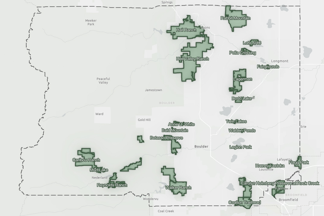
Parks & Open Space Interactive Map
View the trails, see the property boundaries, and get driving directions to the trailheads.
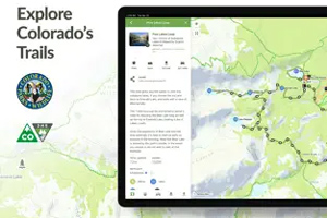
COTREX
Colorado Trail Explorer (COTREX) is the state’s official trails app and is led by Colorado Parks and Wildlife and Department of Natural Resources. It is the most comprehensive trail map available for the state and is built using data from over 230 trail managers.
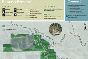
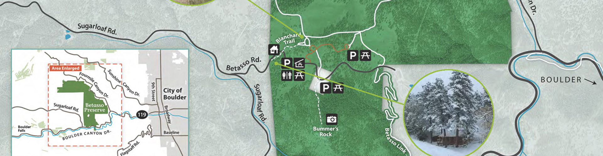
Parks, Trails, and Open Space PDF Maps
Listing of available parks, trails, and open space PDF maps.
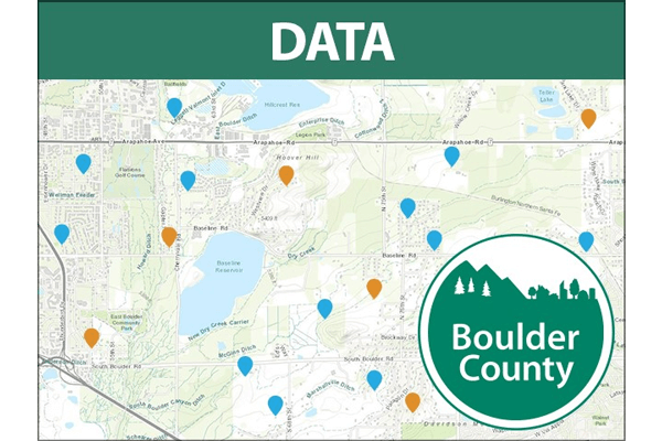
Parks & Open Space Public Data Explorer
This map is an interactive tool that allows you to explore information about open space areas. It provides you a way to view trails, property boundaries and ownership, hydrology data, closure, natural features, and other geography-based information related to open space properties and trails.
Open Data Portal
Visit the Open Data Portal to find datasets such as parcels, zoning, property information, open space, trails, and more.
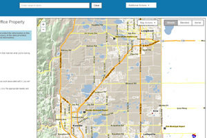
Property Search
Use the Assessor’s Property Search application to find property ownership and other property information.