September 8, 2022
Media Contact
Andrew Barth, 303-441-1032
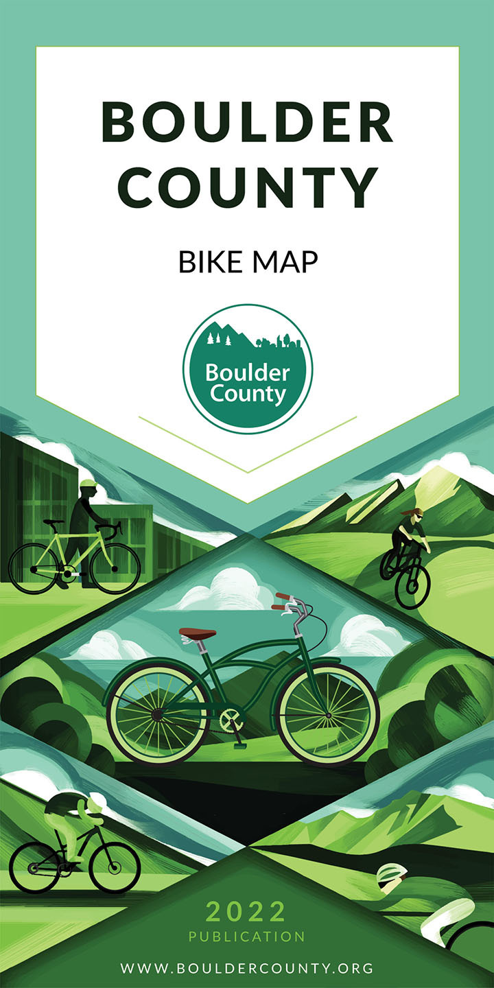
Newly updated Boulder County Bike Map now available
Free printed Bike Map available at many bike shops in Boulder County
Boulder County, Colo. - The Transportation Division of Boulder County has released a completely revised Boulder County Bike Map. The updated bike map builds off the popular past bike map by showcasing the extensive network of paths, regional trails and bikeways, and shoulder width and relative traffic volume of county roads and bikes lanes and routes within cities.
The new map is available for free at many bike shops, tourism info centers, libraries and at the Community Planning & Permitting office located at 2045 13th St. in Boulder.
The revised edition of the map has added elevation profiles of Olde Stage Road, Lee Hill Road and Flagstaff Road, the percent grade of many sections of the mountain roads, and icons to show public restrooms and trailheads to public lands.
Another new feature in the revised map shows the cities and towns within the main map instead of showing them as disconnected insets. This improvement was made to make route finding between unincorporated county and cities easier.
The bike map can be used to find a route that matches any rider’s preference such as avoiding high traffic volume roads or finding roads with wide shoulders and bike lanes or finding routes that are exclusively on separated paths.
View the map or more information on the Boulder County Bike Map webpage.