Background
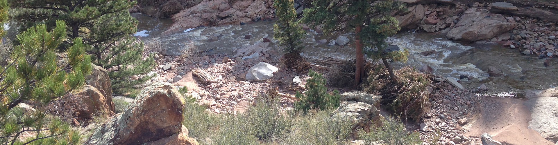
The 2013 Flood drastically altered Boulder County’s waterways. Large debris, channel migration, and sediment aggradation and degradation within creek channels decreased the stability of the county’s eight watersheds and increased the vulnerability of the adjacent communities to future floods.
In the year following the flood, Boulder County, in conjunction with partners and stakeholders throughout the county, created the Comprehensive Creek Planning Initiative (CCP) to develop post-flood watershed-level master plans for creek corridors most impacted by the 2013 flood. The watershed master plans identify recommended projects to restore and stabilize the watershed.
Boulder County has now transitioned from the planning effort of the CCP to the Creek Recovery and Restoration Program (CRR). The Creek Recovery and Restoration Program is continuing the long-term recovery effort by seeking funding for restoration projects, overseeing project implementation, and continuing to partner and coordinate with stakeholders and residents in the community.
Creek Restoration Projects
The CRR program will be implementing stream restoration projects on Boulder County Parks and Open Space property or those associated with the reconstruction of flood-damage county roads. Funding for stream restoration projects will be provided by Boulder County flood recovery tax funds, the Natural Resources Conservation Service’s (NRCS) Emergency Watershed Protection (EWP) program, the Colorado Water Conservation Board (CWCB), and Community Development Block Grant-Disaster Recovery (CDBG-DR) funds.
Boulder County Transportation Creek Restoration Projects:
- North St. Vrain Creek Restoration Project
- James Creek Restoration Project
- Fourmile Canyon Creek
- Creek Recovery and Restoration – Upper Fourmile Creek
- Lower Fourmile Creek Restoration Project
- Gold Run Restoration and Recovery
Boulder County Parks and Open Space Creek Restoration Projects:
- South St. Vrain Creek
- St. Vrain Creek Restoration – US 36 to Airport Rd
- Beilins-Hock
- Brewbaker
- Geer Creek
Watershed Coalitions
Watershed coalitions, which have formed in watersheds throughout the county, are coordinating communication, identifying funding opportunities, and may be directly implementing projects of interest to landowners and county residents. Boulder County is a participant in the coalitions and encourages interested landowners to participate.
- Coal Creek Canyon Watershed Partnership (CCCWP)
- Fourmile Watershed Coalition
- Lefthand Watershed Oversight Group (LWOG)
- Little Thompson Watershed Restoration Coalition (LTWRC)
- St. Vrain Creek Coalition (SVCC)
GIS Data
The watershed master plans identify areas of concern and include project recommendations. Much of this information is displayed on maps within the master plan documents. To facilitate the use of the information in the master plans, Boulder County has made the GIS data from the master plan maps available for download. GIS data from the master plans can be found on the Geographic Information Systems (GIS) Downloadable Data page under the “Creek Watershed Master Plans” section.