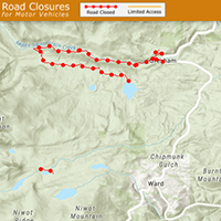
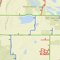
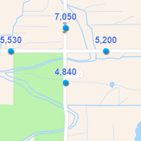
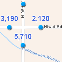
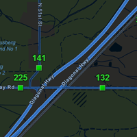
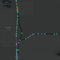
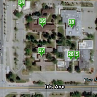
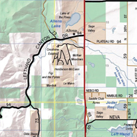
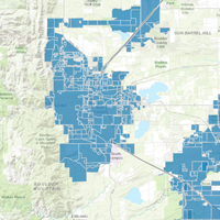
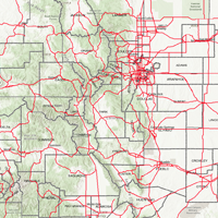
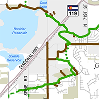
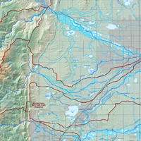
Public Works produces several maps, web maps and GIS data, including the Boulder County Road Map, Traffic Volumes interactive web map, Snow Removal Priority interactive web map, and Geospatial Downloadable Data, all available in the links below. Read the county’s map disclaimer.

Maps and GIS - Public Works
Web Maps
Maps
Geographic Information Systems (GIS) Data
Sales Tax Projects
Other Maps
Boulder County aims to ensure all digital content and documents are accessible. While efforts have been made to maximize accessibility, some types of content have inherent technical limitations. For alternate formats or accommodations, please submit an ADA Web Accommodation Request Form or email ADA@bouldercounty.gov, or call 303-441-1386. View the county’s accessibility statement.


