Reclamation Plan
Parks & Open Space has coordinated and worked with the mining company since the county purchased Hall 2 for open space in 2011. Since that time, the county, as landowner, has provided comments and recommendations to Holcim-WCR, Inc. (previously Aggregate Industries) and DRMS, but DRMS provides the ultimate oversight and approval of the mining and reclamation permit and work.
The final reclamation plan that was approved by DRMS called for:
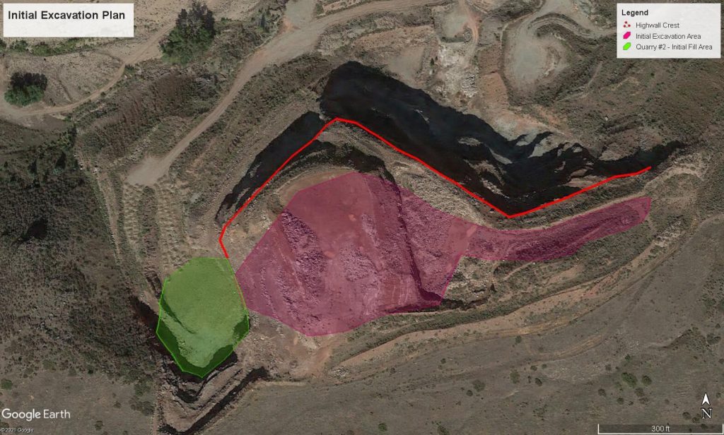
- Regrading the “high wall” (i.e., steep portions of the quarry) to mimic the natural slope of the surrounding landscape through minimal blasting and earth moving.
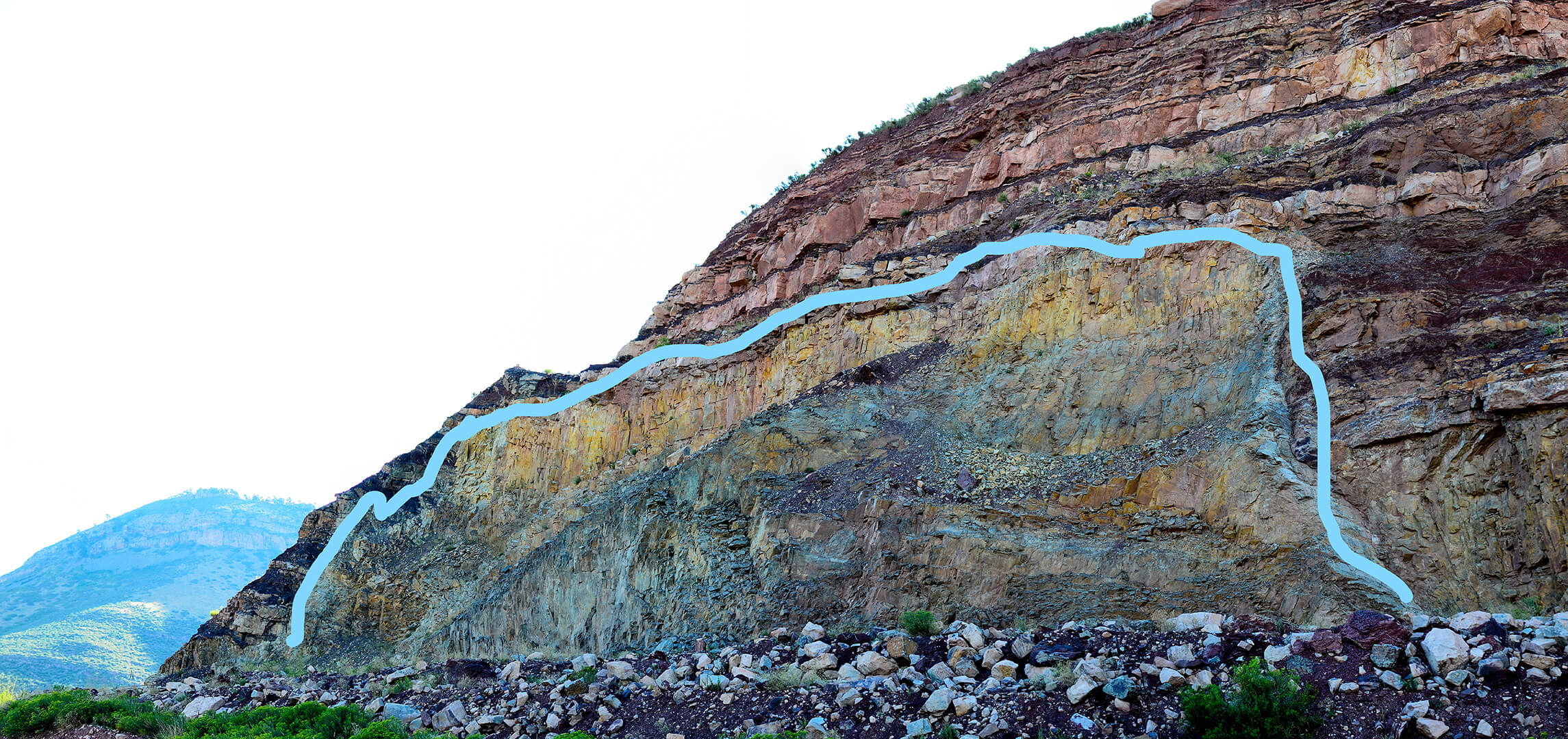
- Preserving a section of the exposed dacite1 walls at the base of the mine for geological interpretation purposes.
- Removing crusher fine material from the floodplain and along South St. Vrain Creek.
- Constructing rockfall catchment areas at the base of the highwall.
- Fencing around the reclaimed highwall to ensure public safety.
- Installing stormwater drainage and erosion control infrastructure.
- Conditioning soil and seeding native vegetation adapted to the site conditions.
Following regrading and revegetation, Holcim-WCR, Inc. will be required to monitor and maintain the site for several years focusing on weed control, site stability, and native vegetation establishment.
Before Holcim-WCR, Inc. can be released from their reclamation bond, the site must meet the following DRMS requirements:
1 Dacite is a type of granite. This hard rock has intruded, or pushed through, softer rock throughout the Rockies, creating our magnificent mountains. At this site in particular, the granite has intruded into the sandstone. You can see this in the exposed rock where sandstone is found both above and below the dacite. Local geologists believe this is the terminus of the “mineral belt” of hard rock where gold, silver and other ore are mined from SW Colorado to Lyons.


