

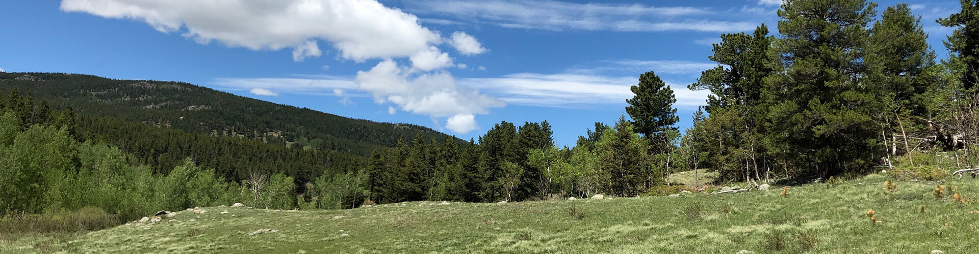
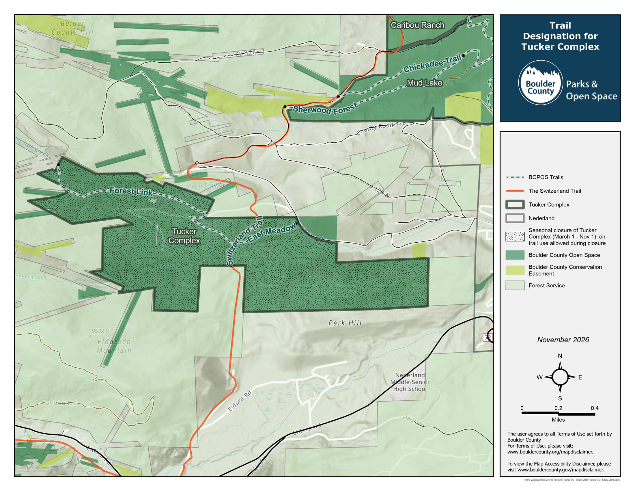
The Tucker Complex open space area is located west of Nederland and contains 667 acres across nine connected parcels. Designated trails and a seasonal closure have been established to address the negative impacts caused by ongoing unauthorized use until a management plan is approved.
Tucker Complex
Trails
-
Forest Link Trail
1.4 miles


-
Switzerland Trail
0.3 miles -
East Meadow Trail
0.4 miles
Closed April 1 through June 30
Regulations

Day Use Only
Pets On Leash

Bikes On Designated Trails At All Times

No Open Fires

No Hunting/Firearms
No Camping
Keep In Mind
- There are no formal parking areas, restrooms, or other amenities.
- All trail users must stay on designated trails during the seasonal closure from March 1 through Nov. 1. Bikes must stay on designated trails year-round.
- The East Meadow Trail originating near the historic Tucker cabin is closed April 1 through June 30 to protect wildlife habitat for elk calving.
- Regulations for seasonal closures and the use of undesignated trails will be strictly enforced.
Management Plan Coming Soon
The Tucker Complex is part of the Peak to Peak District Planning Process that will:
- Establish long-term designated trails.
- Manage wildlife corridors, watersheds, and recreation flows at the right scale.
- Consider land use of adjoining properties.
- Reduce conflict between conservation, recreation, and agriculture.
District Planning for the area will being early 2027. Sign up to be notified when the planning process opens.
Interactive Map
Sensitive Plant and Wildlife Areas
The Tucker Complex is home to many plants and animals. It contains sensitive and high-value wildlife and ecological resources that require careful planning and protection.
Plants
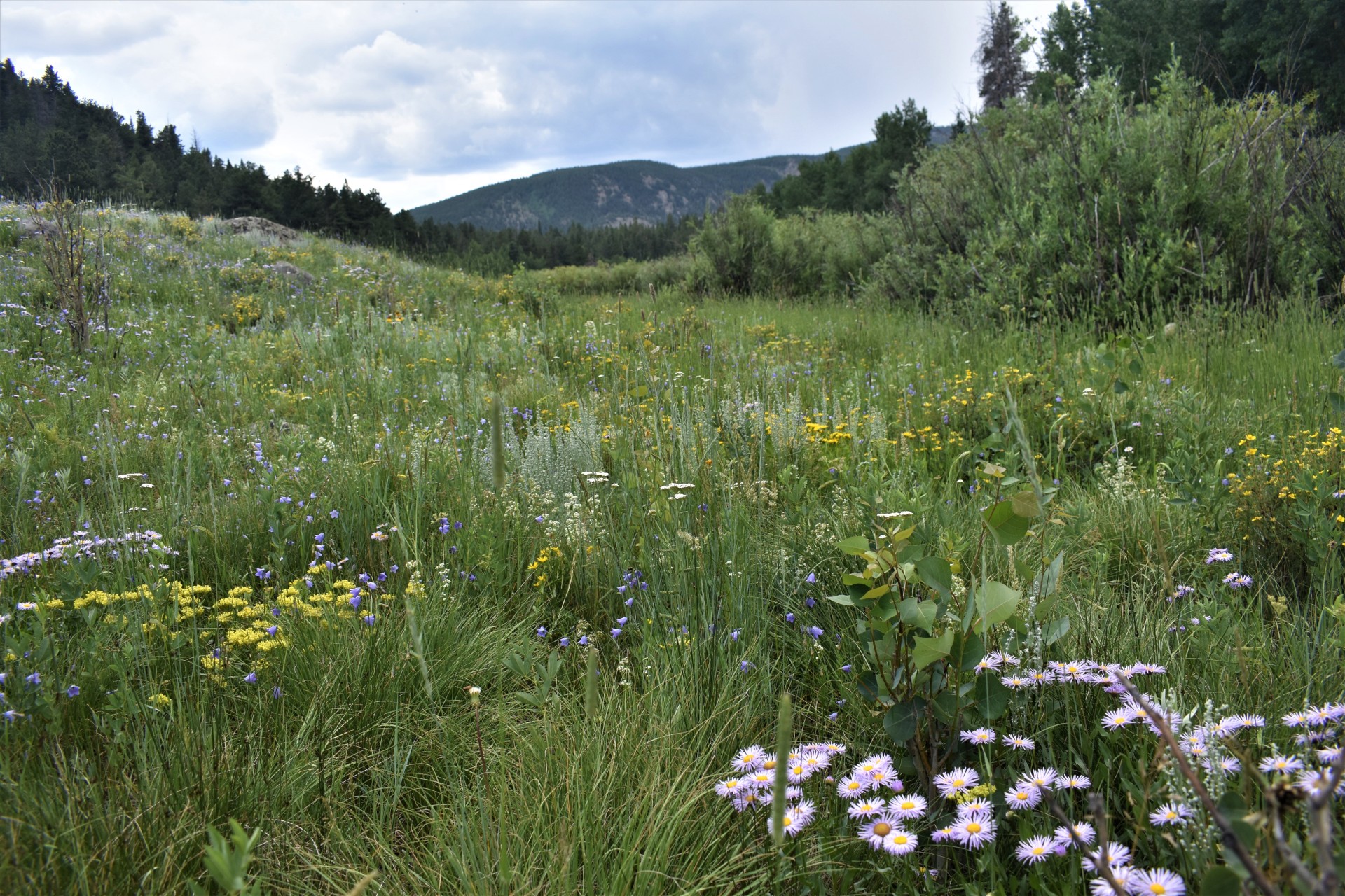
- 391 plant species
- 23 state listed vulnerable species
- 2 state listed imperiled species
- 6 orchid species
- 64 acres of significant natural communities
- 11 wetlands including one with a perfect score recognizing the highest and best example of a naturally functioning wetland in Boulder County
Wildlife
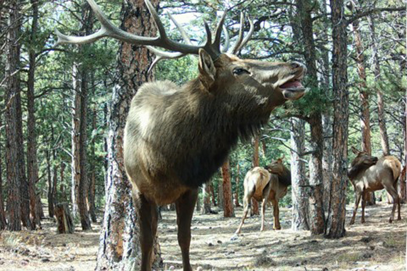
- Elk: Important breeding and calving area, and part of a larger migration corridor.
- Moose: Frequently spotted and poses visitor safety risks.
- Nesting Raptors: Sensitive and protected species.
- Beaver: A keystone species that has been historically present. Current efforts are occurring to enhance beaver habitat, with the hope and intention of providing suitable conditions for their reestablishment in area.
Unauthorized Trails
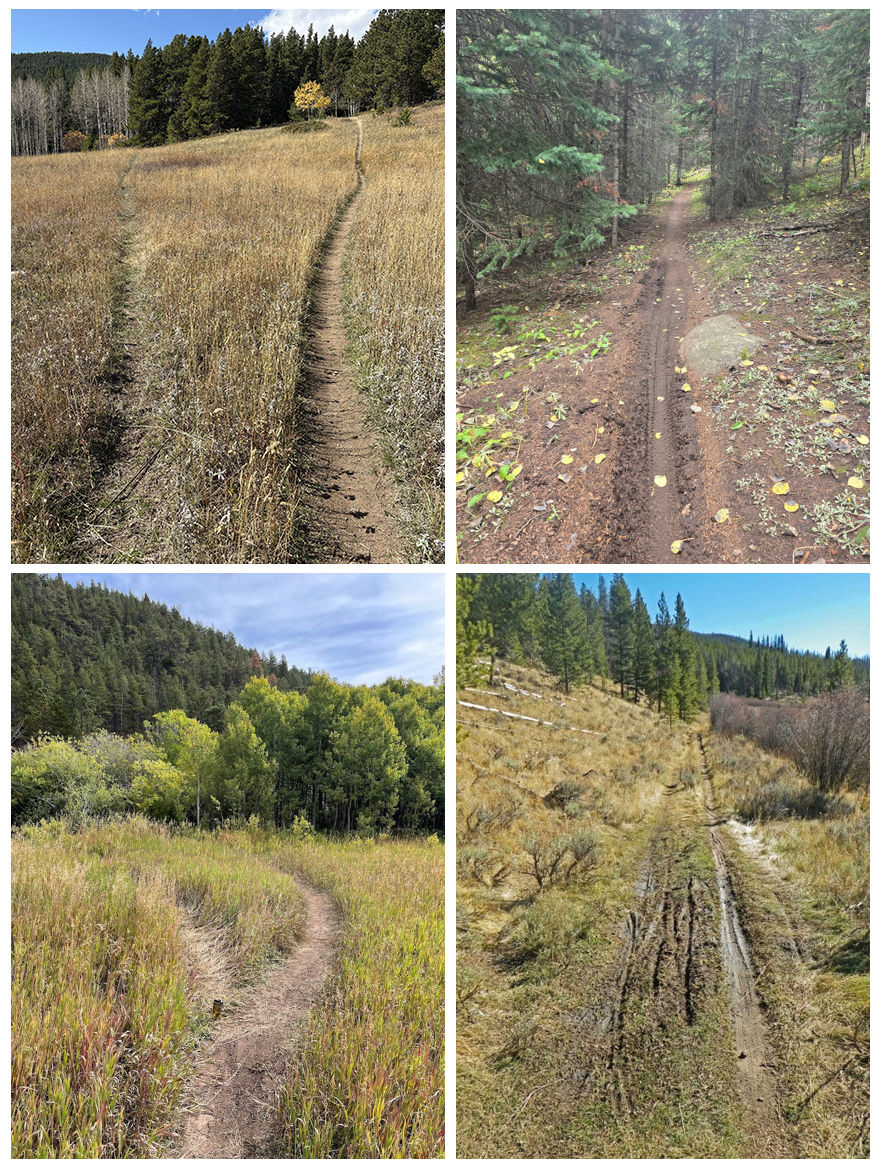
The Tucker Complex includes nine connected parcels that were acquired between 2000 and 2024. It borders U.S. States Forest Service land and receives high visitor use. The area was intentionally kept open during COVID-19 to meet community needs, and most recreation occurred on about 1 mile of informal paths. Today, however, there are ~9 miles of unauthorized trails, nine times the recommended threshold for sensitive wildlife areas.
Unintended Harm
Undesignated routes cause unintended harm to natural areas.
- They are not planned and do not account for wildlife, plants, or other environmental factors.
- They contribute to habitat fragmentation and degradation.
- They cross private property creating liability concerns for land owners.
- They are not sustainably designed and create maintenance and safety issues.
Do not use unauthorized trails, even if they appear on Strava, OpenStreetMap, Google Maps, or other mapping services.
Use the maps on this page to view designated trails. Follow the signs on the property to avoid wandering onto unauthorized trails.
Note: COTREX will soon be updated to show the designated trails.
History
- Sept. 15, 2026 Resolution 2026-063
The Board of County Commissioners signed a resolution establishing a seasonal closure and designated trails until the Peak to Peak District Area Management Plan is approved. The resolution addresses the rampant proliferation of unauthorized trails and the negative impacts to high-value habitat areas, sensitive species, and ecologically significant lands while balancing the practical realities of users accessing the Tucker Complex from adjacent properties. - Aug. 18, 2026 Work Session
The Board of County Commissioners held a work session to discuss recommendations regarding interim management and resource protection measures until formal district-level planning can be completed.