Project Updates
Project partners have agreed to post all updated related to the trail connections near the Rocky Flats National Wildlife Refuge on the Rocky Mountain Greenway page managed by Jefferson County.
Summary
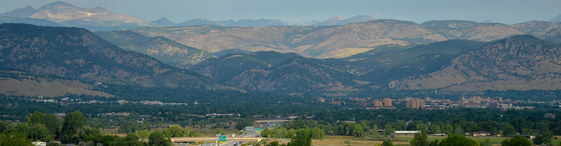
In 2016, the City of Arvada, City of Boulder, Boulder County, City and County of Broomfield, Jefferson County, and City of Westminster submitted a grant to extend a regional trails project, referred to as the Rocky Mountain Greenway (RMG). The grant supports the creation of underpasses at Indiana Street and Hwy128 that would ultimately connect trails in Broomfield’s Great Western Open Space into Boulder County. The Greenway Steering Committee will determine if the trail connection will go through Rocky Flats National Wildlife Refuge or near the refuge in order to make the connection between Broomfield and Boulder counties.
The overall vision of the project is to ultimately connect the three Front Range National Wildlife Refuges (Rocky Mountain Arsenal, Two Ponds, and Rocky Flats) with Rocky Mountain National Park through an interconnected, multi-use, regional trail system.
Prior to beginning the construction of the project, the governments independently procured a contractor to conduct soil analysis in the areas of the proposed trail crossings.
There are three current and ongoing soil sampling efforts in and around the Rocky Flats National Wildlife Refuge: sampling related to the Jefferson Parkway along the Indiana Street right of way, sampling within the Refuge where new trail construction will take place, and sampling related to the FLAP grant and the access facilities planned to connect the Rocky Mountain Greenway trail to the Refuge. While these are separate projects, it is the intention of the FLAP group to compile the results of the three efforts, which will comprise a dataset of around 300 surface and sub-surface samples. Once finalized, all data and analysis will be presented to the public through this as well as other communications channels.
With respect to the FLAP grant sampling effort, the final report is available With respect to the FLAP grant sampling effort, view the final report.. Each of the partner organizations is reviewing the report results and making their final decisions regarding participation in an intergovernmental agreement to support road crossing construction during the spring of 2021.
Rocky Mountain Greenway Background
The Rocky Mountain Greenway is a Colorado the Beautiful statewide priority trail project that has been designated by former President Barack Obama as an official project of America’s Great Outdoors.
The vision of the project is to ultimately connect the three Front Range National Wildlife Refuges (Rocky Mountain Arsenal, Two Ponds, and Rocky Flats) with Rocky Mountain National Park through an interconnected, multi-use, regional trail system.